About Kisoro District
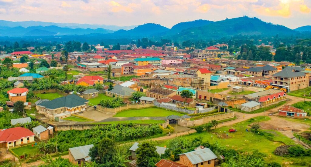
About Kisoro District: In 1991, the Ugandan government implemented a decentralization process that established Kisoro District as one of its local governments. Kisoro District, which borders the Democratic Republic of Congo (DRC) and the Republic of Rwanda, is situated in the most extreme part of South Western Uganda. Rwanda to the south, the Democratic Republic of the Congo to the west, Kabale District to the east, and Kanungu District to the north all abut Kisoro District. The largest town in the sub-region, Kabale, lies about 45 kilometers (28 miles) west of Kisoro via road. It takes 8 hours and 21 minutes to travel 484.0 km via Mbarara-Masaka Road and Kabale Mbarara Road from Kampala, Uganda‘s capital and main business hub.

The Bafumbira, Bakiga, Banyarwanda, and Batwa are the four major ethnic groups that make up the District’s population.Since 1991, the population of Kisoro district has grown significantly, reaching almost 13.5% of the total population. As of right now, the district has 335,400 residents, according to the 2021 Population Project, and occupies 726.0 km².
The following affiliations of the district’s inhabitants have dominated Kisoro’s religious landscape: 95.8% identify as Christian, 0.8 as Muslim, 1.3 as Other, and 2.2 as None. This is current as of 2002.
Concerning Kisoro District
Nearly all of the district leaders are members of the present ruling NRM government, which controls politics in Kisoro district.Kisoro Municipality, Bufumbira South, Bufumbira East, Bukimbiri, and Bufumbira North are the five constituencies that make up the District. Like all other districts, Kisoro has representatives in the Ugandan Parliament. The three divisions of Kisoro Municipality—the Central, Southern, and Northern divisions—are represented by Hon. Sam Byibesho. Chanika Town Council, Chahi Subcounty, Nyarusiza Subcounty, Nyakinama Subcounty, Muramba Subcounty, and Bunagana Town Council make up Bufumbira South, which is represented by Hon. Sam K. Bitangaro. The Chahafi Town Council, Murora Subcounty, Nyakabande Subcounty, and Kanaba Subcounty comprise the Bufumbira East constituency, which is represented by Hon. Dr. James Nsaba Buturo. Rukundo Town Council, Nyarubuye Subcounty, Busanza Subcounty, and Mupaka Town Council make up the Bufumbira North constituency, which is represented by Hon. Nizeyimana John Kamara. One of the newly formed seats, Bukimbiri, does not yet have a representative. It was created out of the constituencies of Bufumbira East and Bufumbira North. Nkuringo Town Council, Kirundo Subcounty, Rubuguri Town Council, Nyabwishenya Subcounty, Bukimbiri Subcounty, Nyanamo Town Council, and Nyundo Subcounty comprise it.
The district grows tea, Irish potatoes, maize, and beans. It is a rugged and hilly region that is endowed with good soils that support agriculture on both a subsistence and large-scale basis.
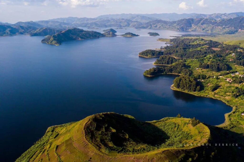
The weather in Kisoro is pleasant and cloudy. The average annual temperature fluctuates between 57°F and 75°F; it is rarely lower or higher than 55°F or 80°F. Kisoro experiences year-round rainfall, and only Kabale and Kasese have been known as the Switzerland of Africa since colonial times because of their climate and topography.

As the home of the mountain gorillas in Mgahinga National Park and Bwindi Impenetrable National Park, Kisoro is a popular tourist attraction that generates income for the local population as well as the district and federal governments. Kisoro is one of the most beautiful places on earth because of the well-known Muhabura Volcanic Mountains, the mountainous landscape, the winding Kabale-Kisoro route, the impenetrable Bwindi forest, and the Echuya bamboo forest. The stunning and breathtaking scenery of Kisoro area is largely responsible for Uganda‘s nickname, “The Pearl of Africa.” That’s implied.


