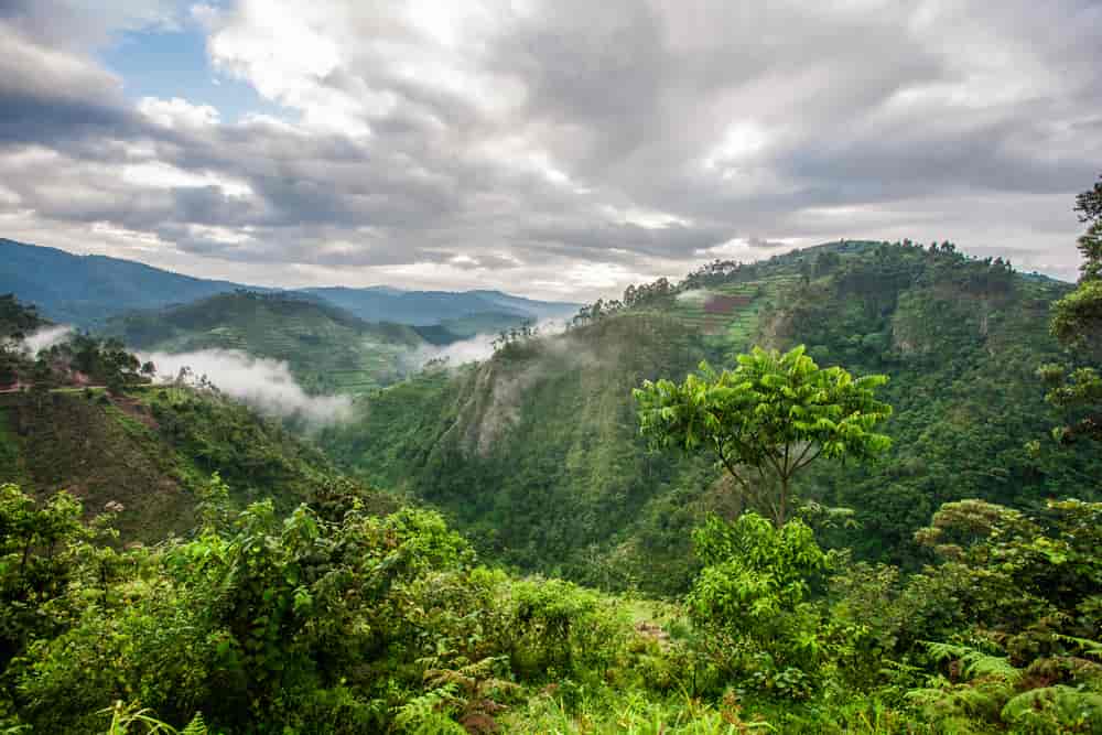
Weather And Climate In Bwindi
Weather And Climate In Bwindi: The tropical climate of Bwindi Impenetrable National Park is moderated by its altitude. The annual mean temperature of Bwindi Impenetrable Forest National Park ranges from a minimum of 7–15°C to a maximum of 20–27°C, indicating a tropical climate. Rainfall in winter is significantly less than that of summer. Rainfall amounts there vary from 1,400 to 1,900 millimeters per year. The months of March through April and September through November get the most rainfall.

The area outside the park receives more precipitation due to high levels of evapo-transpiration from the forest’s flora. The lush greenery in the surrounding areas is also a result of this rains. The issue of flooding and soil erosion in this area has also decreased due to the vegetation.
The Bwindi Impenetrable Forest often experiences cool mornings and evenings, with temperatures ranging from 7°C to 20°C, particularly during the months of June through July. The months of September through November receive 2390 mm of yearly rainfall, which falls in extended stretches of light drizzles.
January is usually the warmest month. Temperature swings are caused by differences in altitude, which range from 1160 meters to 2607 meters above sea level. Due to the park’s proximity to the equator, rain may fall at any time. Since brief rains are occasionally experienced during even the officially recognized dry seasons, the Bwindi Impenetrable Forest rarely experiences true dry seasons.
Bwindi’s average yearly temperature ranges from 7 to 20 degrees Celsius, making it known to be chilly in the morning and evening.

In Bwindi, the coldest months are June and July. Bwindi has two distinct seasons;
– March through May and September through November are the rainy seasons.
– December to February and mid-June to mid-August are the dry seasons. March through May sees brief rains, with November seeing the most, with extended periods of gentle rainfall.
Rainfall in Bwindi Impenetrable National Park can reach 2390 mm in a single year. The typical temperature ranges from 16 to 25 degrees Celsius
An essential region for catching water is the forest. There is minimal water infiltration and aquifers due to the mainly impermeable underlying geology where water primarily travels through massive fault formations. The forest features a rather extensive network of streams, formed by the majority of the park’s rainfall. Numerous rivers that go to the North, West, and South originate in the forest. The Ivi, Munyaga, Ihihizo, Ishasha, and Ntengyere rivers are some of the major rivers that originate in the park and run into Lake Edward. Other rivers empty into Bunyonyi and Mutanda Lakes. Water from Bwindi is supplied to nearby agricultural areas.
Bwindi enjoys a tropical environment. The minimum and maximum annual mean temperatures are respectively 7–15°C and 20–27°C. The range of its yearly precipitation is 1,400 to 1,900 millimeters (55 to 75 in). The months of March through April and September through November get the most rainfall. The park’s forest is crucial in controlling the climate and environment outside. The land surrounding the park receives more precipitation due to high levels of evapotranspiration from the forest’s flora. Additionally, they reduce soil erosion, a significant issue in southwest Uganda. They guarantee that streams flow throughout the dry season and reduce flooding.


